
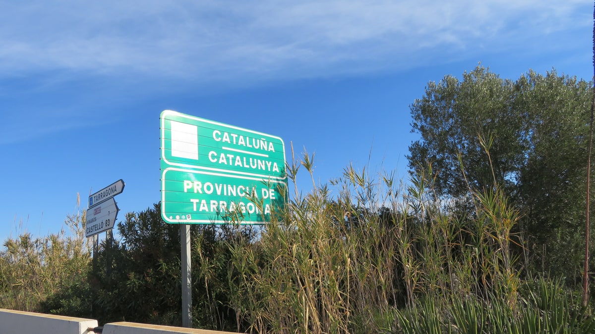
The subtropical storm Charles will pass through Catalonia between Wednesday night and Thursday, bringing rain and strong westerly winds. Before that, temperatures will peak for the week.
According to Ara, the arrival of storm Charles will mark the most intense phase of this week. Before the disturbance makes its entrance, this afternoon and tonight showers from the west will mainly affect the southern face of the Pyrénées and Pre-Pyrénées of Lleida, where the rain may be somewhat more significant.
The rest of Catalonia will experience some light, scattered, and brief showers that will quickly move from west to east. The situation complicates as storm Charles is of subtropical origin and is laden with moisture. Upon reaching the Peninsula, it will interact with storm Bruna, which remains anchored in the Atlantic, and will deepen.
On Wednesday, the focus of the storms will be in the southwestern peninsula, where very heavy rainfall is expected, with accumulations of 200 to 300 l/m², and gales. Numerous alerts are already active there. Meanwhile, the sky will be overcast or partly cloudy across almost the entire country, with morning fog and little precipitation for much of the day.
From Wednesday night until Thursday, the storm will cross Catalonia with precipitation and strong westerly winds. That same Wednesday will see the peak of temperatures from the Indian summer, with a very mild or warm atmosphere for this time of year.
The respite will arrive by the end of the week. According to the forecast reported by the publication, by the end of the week, northerly winds will sweep in, causing temperatures to plummet, so the warmth of these days will not last. For readers in the region, the practical advice is to monitor alerts from the Meteorological Agency before travelling on mountain roads and to consider the temperature changes over the weekend.

You may also like